Table Mountain
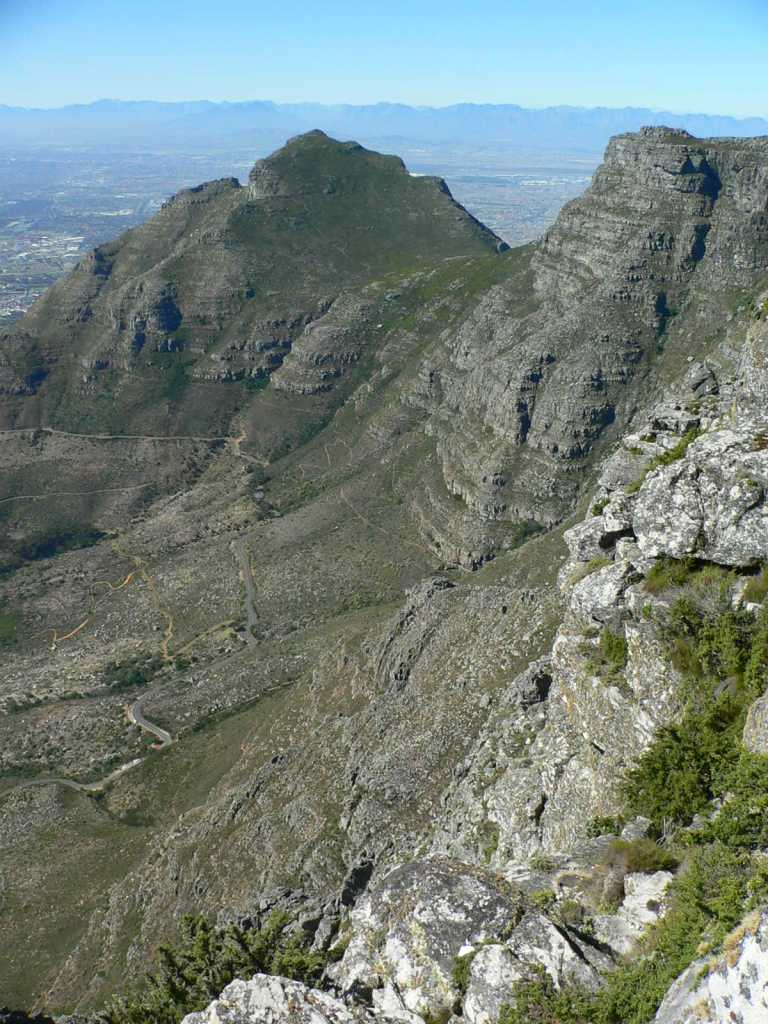
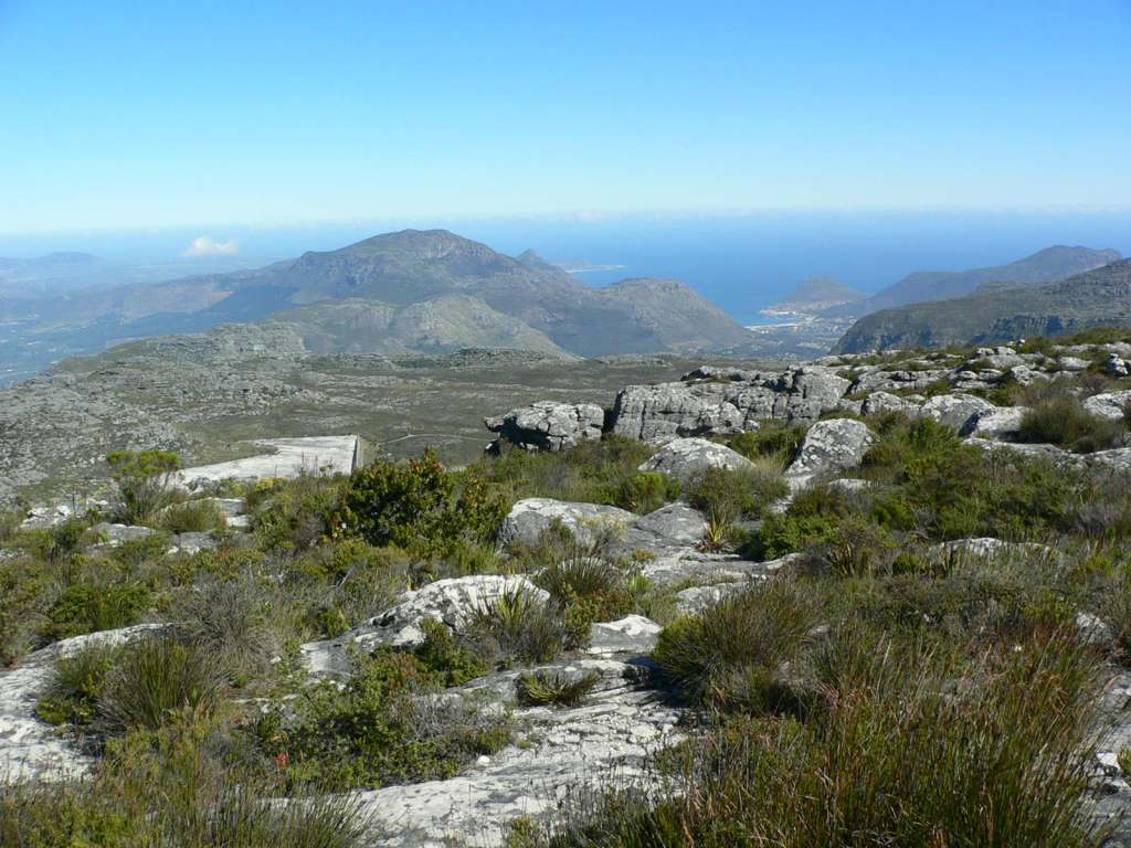
The icon of Cape Town, Table Mountain rises 3300 feet above the city. It is a flat-topped “rock” with cliffs and gorges that dominates the northern end of the peninsula.
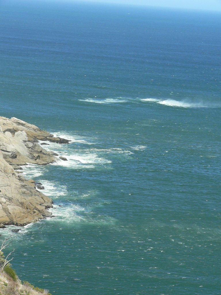
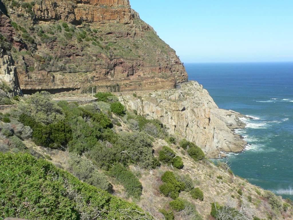
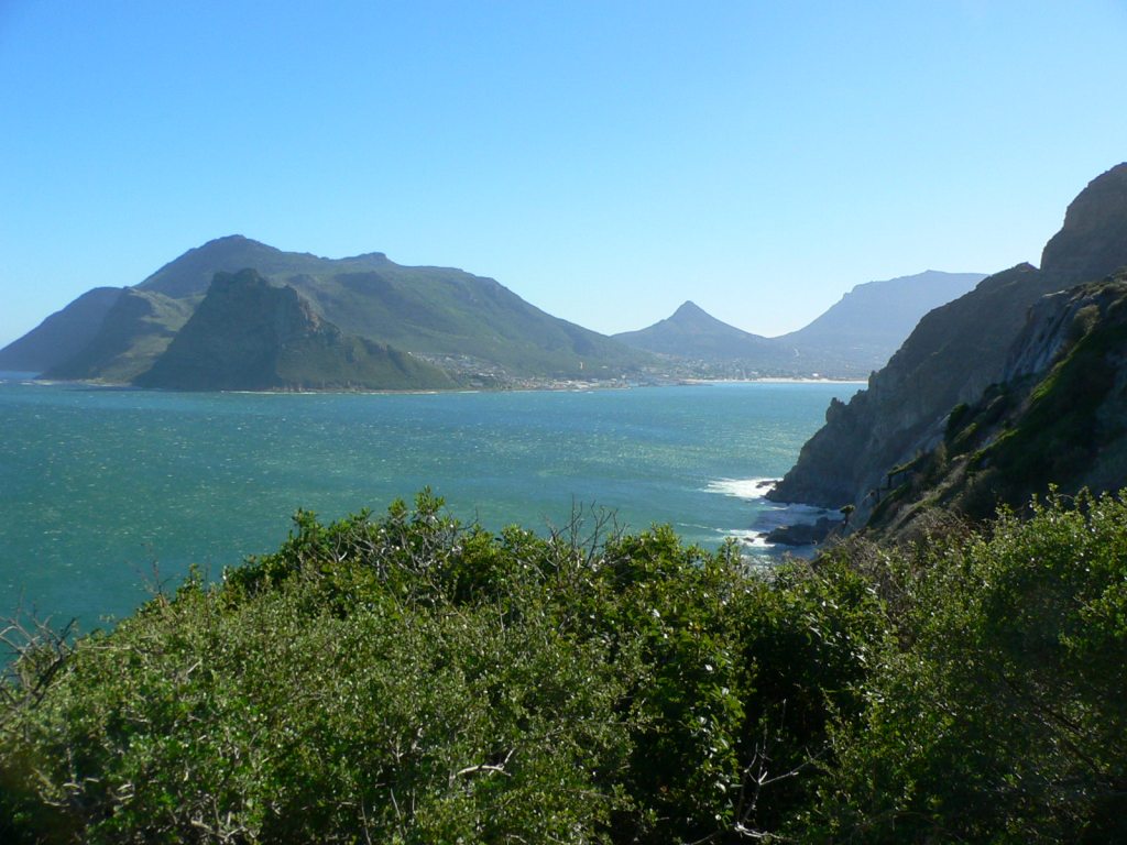
To get there from our “home,” we travelled the Chapman’s Peak Drive along the western edge of the peninsula. Gorgeous views of the coast and the mountains. But it was so windy that sea water was blowing off the top of the waves. Also Ron lost his favorite black cap to the cliffs off Chapman’s Peak and replaced it with a new one sporting the colors of the South African flag
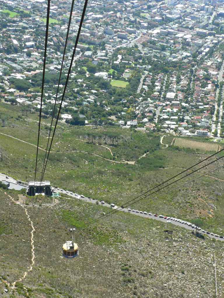
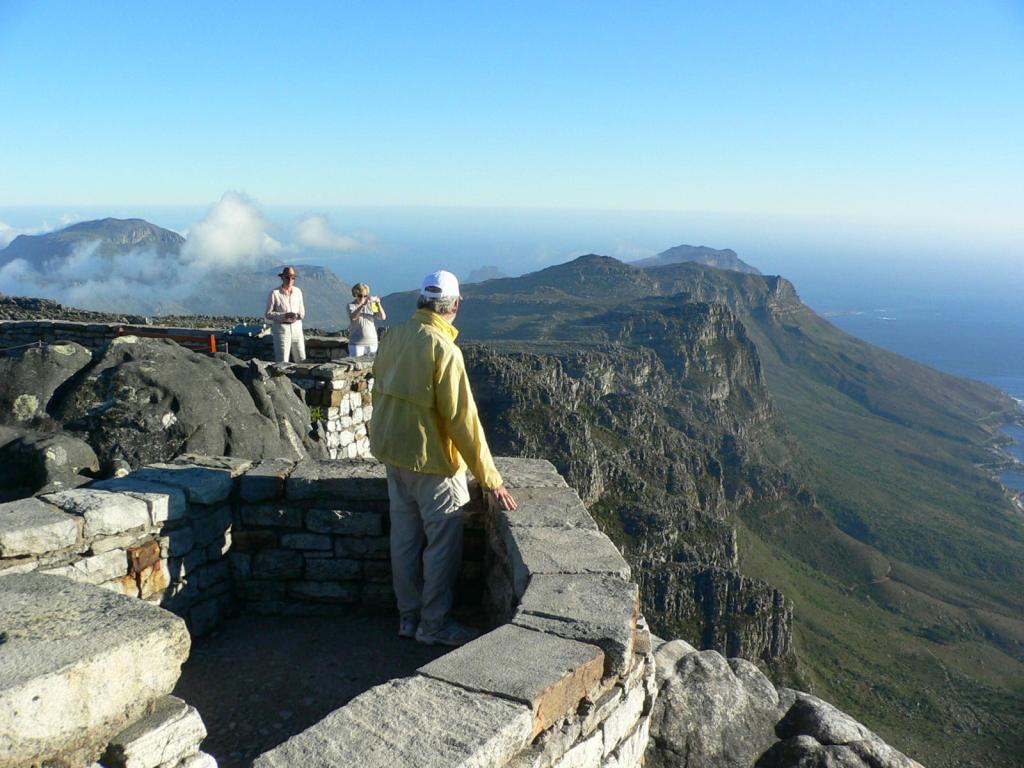
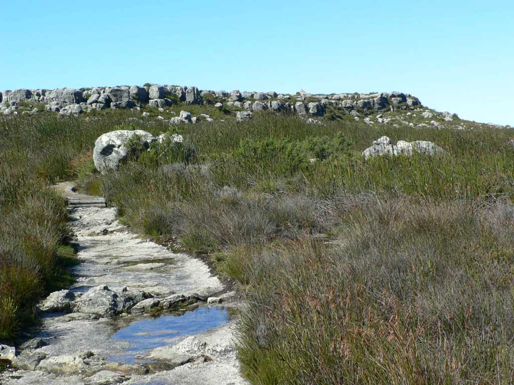
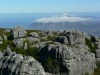
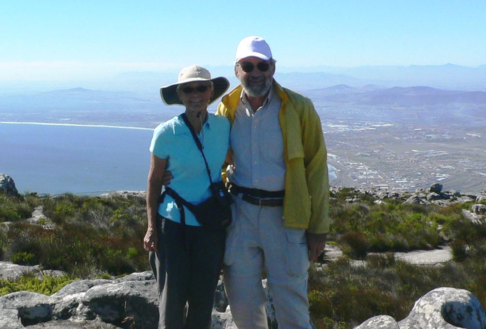
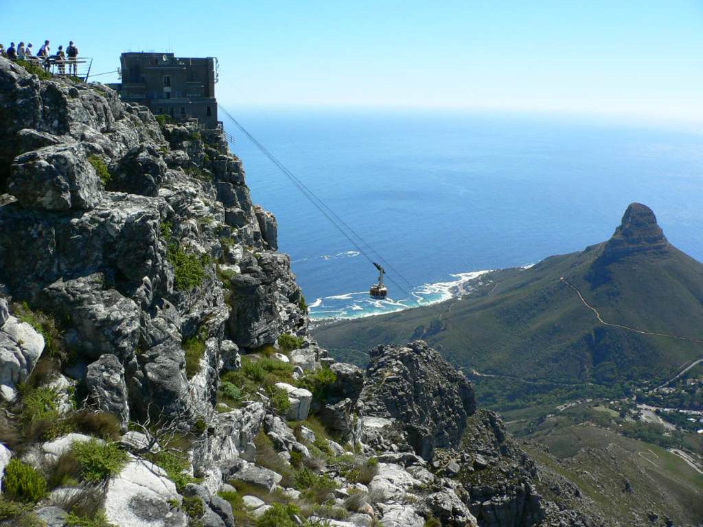
We took the cable car to the top of the mountain. The floor of this car is designed to complete a 360-degree rotation so that we could get a full panorama view on each trip—across Table Bay, the city, and the cliffs. Once on the top we hiked to Maclear’s Beacon which is the highest point on the mountain.
-

- Atlantic Ocean – west coast of Cape
-
- high winds blowing sea water off top of waves
-
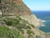
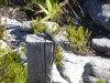
- Chapman’s Peak Drive
-

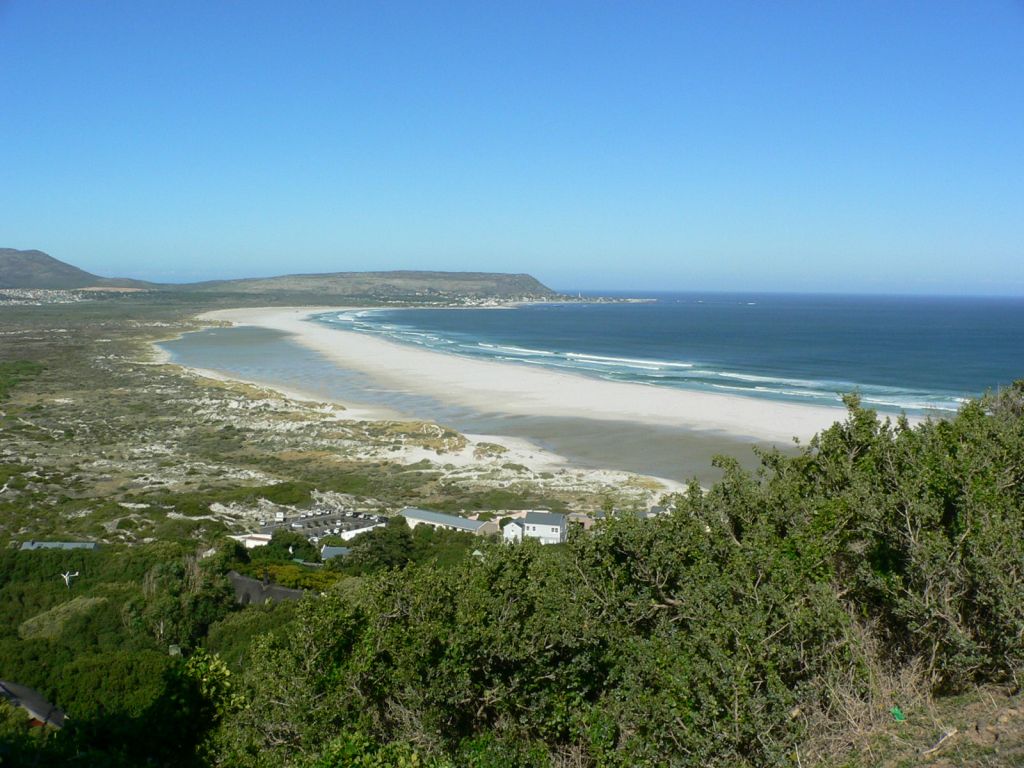
- Hout Bay
-
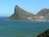
- The Sentinel peak

-

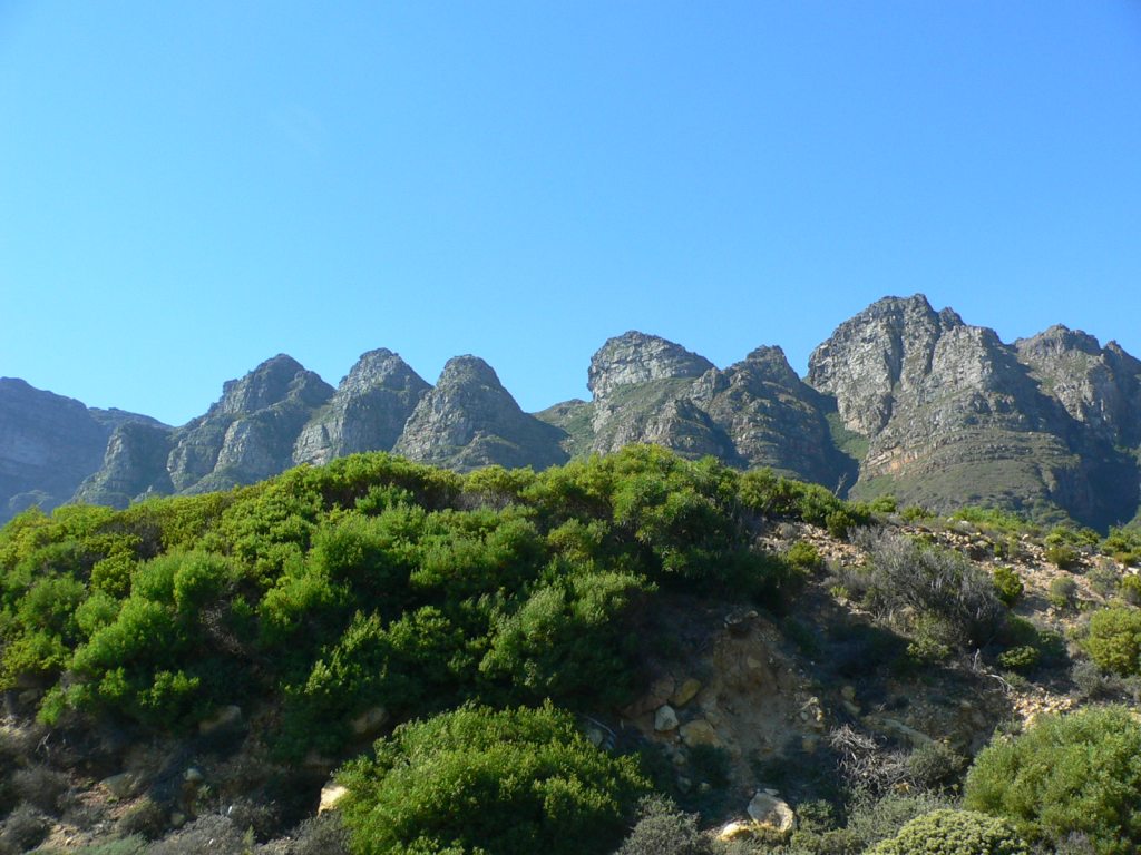
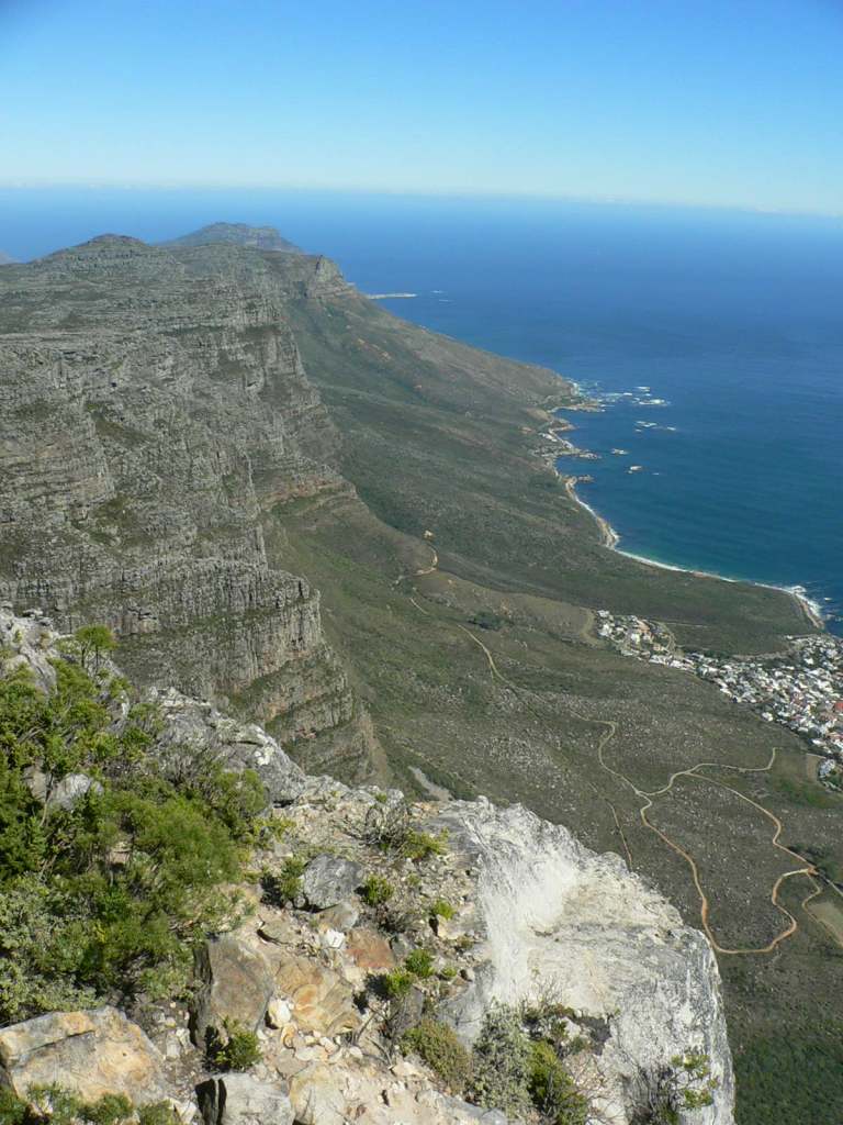
- Twelve Apostles – side of Table Mountain
-
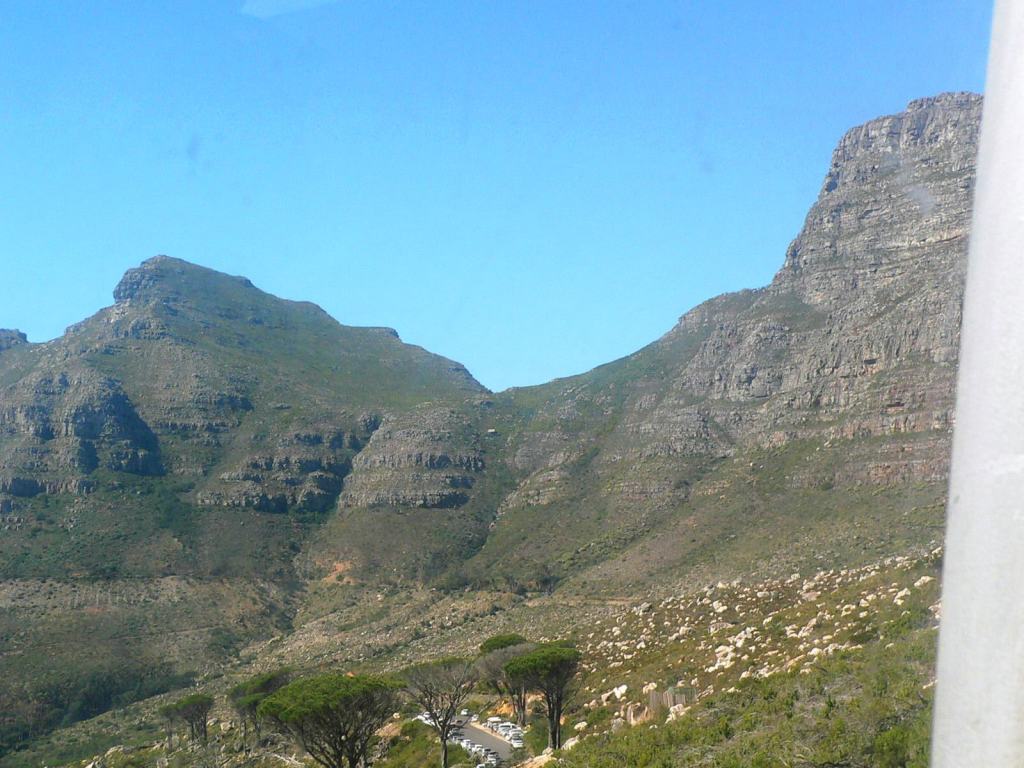
- front face of Table Mountain
-
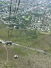
- cable car
-

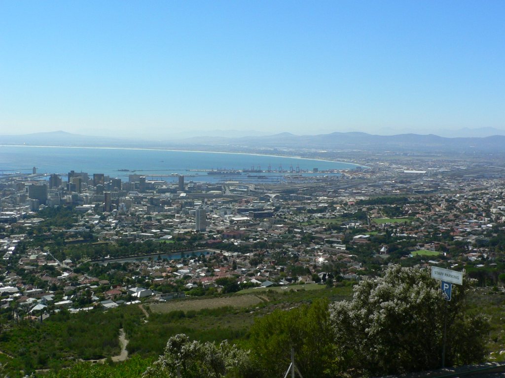
- Cape Town from the top
-

- viewing Twelve Apostles from top
-
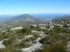
- hike out to Maclear’s Beacon
-
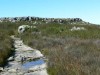
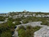
- hike
-
- hike – top is in the distance

-
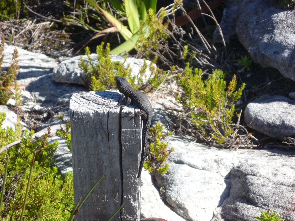
- lizard
-
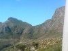
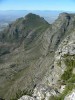
- peak near Fish Hoek under cloud

-
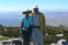
- together
-

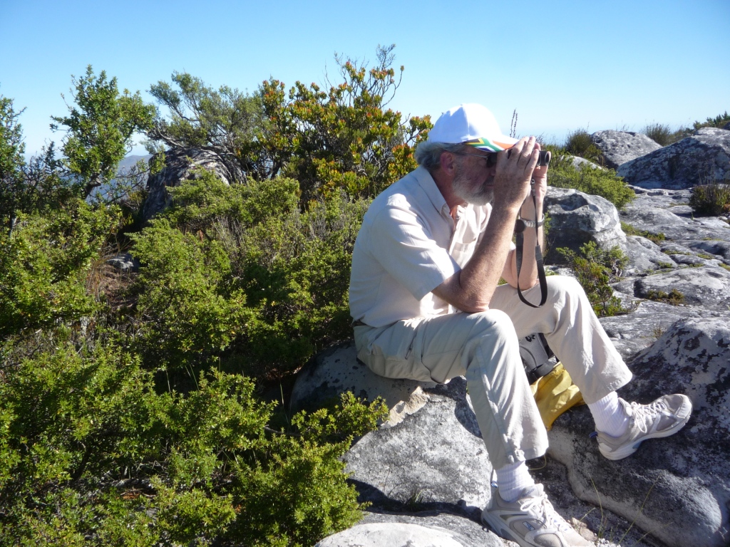
- viewing
-

- the western coast
-

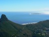
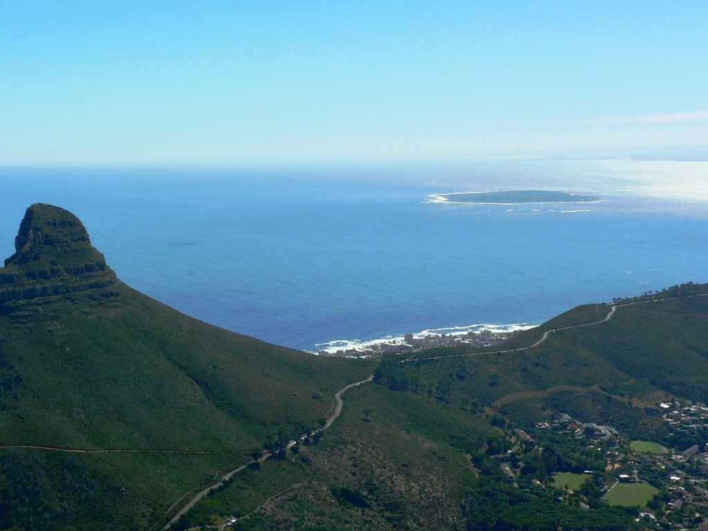
- looking north with Lion’s Head in distance
-
- Robben Island in distance
-
- riding cable car down